It’s not the mountain we conquer, but ourselves.
George Mallory
Deciding to walk from Land’s End to John O’Groats is simple. Working out how to do it, is a bit more difficult.
There is probably an optimal LEJOG equation involving the following variables: 1) D = days/ time available 2) B = budget for accommodation 3) DM = daily mileage 4) R = rest days 5) TD = total distance to be walked 5) PW – pack weight to be carried. Sadly I never got beyond maths O level, so the computation is completely beyond me. Instead I’ll have to rely on the tired and tested technique of “pray and hope”.
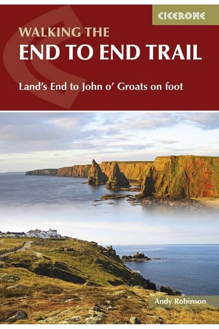
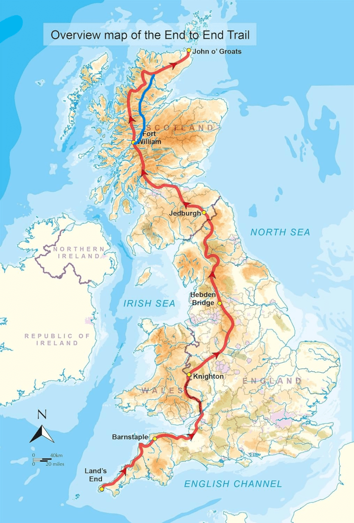
There isn’t any official route for LEJOG. How you get between LE and JOG (or vice versa) is largely determined by 2 factors. How much time you have to do the walk and how many miles you reckon you walk each day. As I’ve set myself the challenge of walking LEJOG in 60 days ( to “celebrate” my 60th birthday) this narrows the options down to two: a low level (1,034 mile) route which avoids the Pennine Way as followed by Linda Brackenbury and described in her book walking e2e or a high level (1,200 mile) route (which takes in the Pennine Way and the Highlands of Scotland) as described in Andy Robinson’s “End to End Trail”.
I’ve decided, with a couple of minor variations (marked in blue on the map below), to follow Andy Robinson’s route. It’s longer than the low level route but it looks a good deal more interesting. I’ll be trying to keep to the 60 day itinerary outlined in Andy Robinson’s guidebook which implies walking an average of 20 miles a day. I’m planning to take 5 rest days to recharge my batteries, replenish my supplies and replace any kit.
The first key question is will I be able to walk an average of 20 miles a day over the course of 2 months, a walk which often involves crossing challenging terrain including the Pennines and the Scottish Highlands?
In 2021 I walked almost 1,000 miles in 2 months from Wiltshire to the Swiss Alps along the Via Francigena. I averaged 18.3 miles a day, but most of this was across fairly flat terrain. In 2022 I walked the 116 mile Two Moors Way in Devon over 4 days, averaging a little over 26 miles a day. It was a short walk. Earlier this year I walked 345 miles along the Chemin d’Arles over 15 days, averaging 23 miles a day. One thing is for sure – next year’s LEJOG is going to be a hell of a challenge!
The second key question is where to stay. The cost of spending each night in hotel or B&B accommodation would be prohibitively expensive (£5000+) and would also considerably reduce the flexibility of walking LEJOG and keeping each day’s walk to around 20 miles. So I have decided to only spend around 1/3rd of the time in hostels or B&B with 1/3rd spent in campsites and the remaining 1/3rd wild camping. That means around 34 nights under canvas and a lot of campfire cooking!
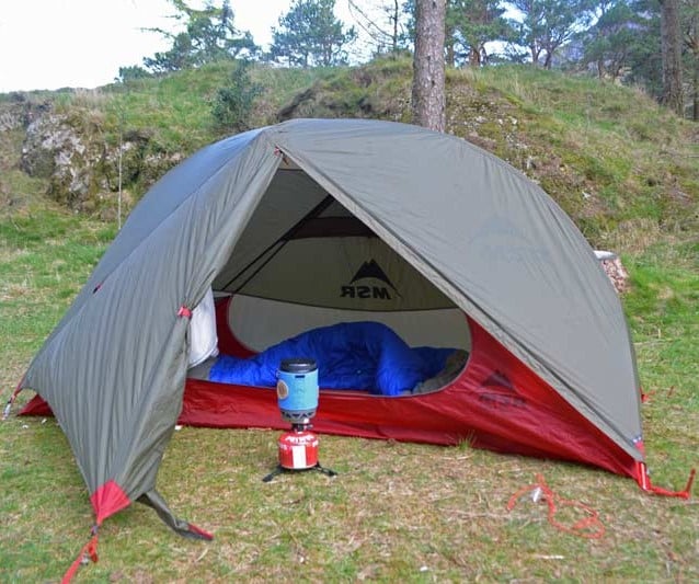
The third key question is how much weight I can afford to carry in order to be able to walk 20 miles a day for 2 months. I’m going to try and keep my back pack weight down to between 5-6kg. That includes carrying a tent (1.3kg), a sleeping mat (0.4kg, a sleeping bag (0.4kg) and a stove/pan (0.4kg). That means that it isn’t really going to be feasible to take a laptop (to edit photos and write my blog) and a stand alone camera. Instead I’m going to have to write my blog from my smart phone and try and camp each night within walking distance of a pub where I can recharge my phone and transmit my blog!

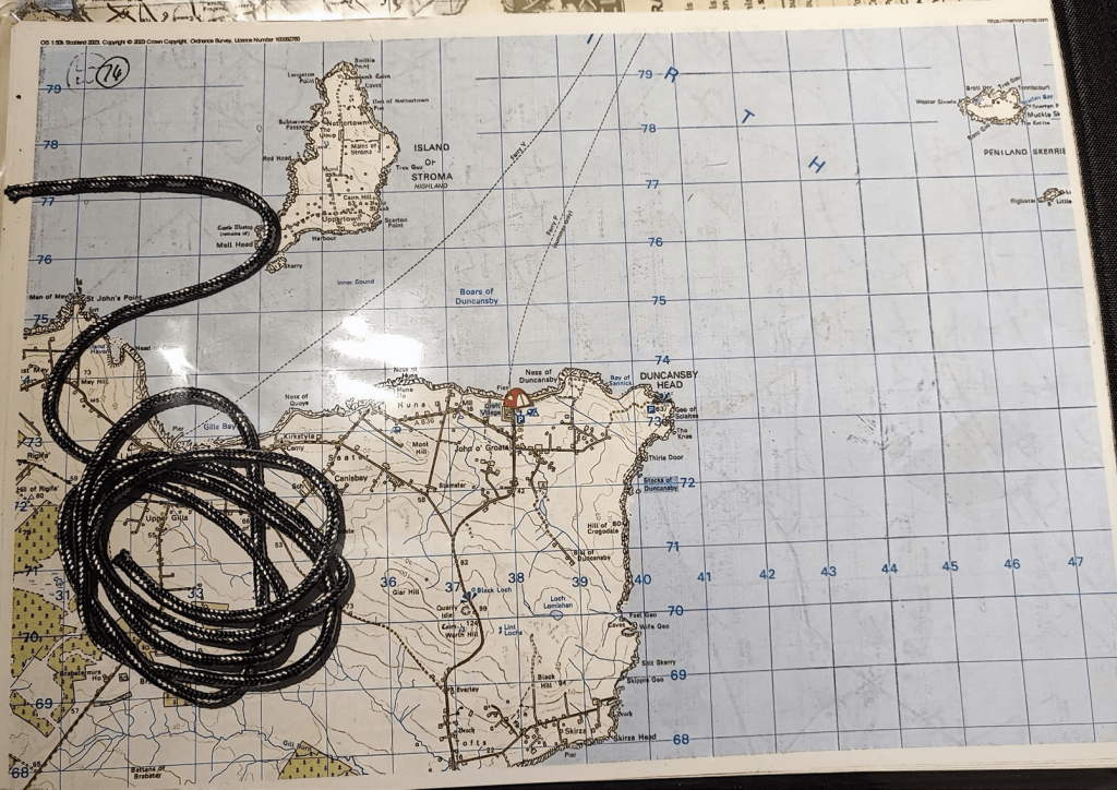
The fourth key question, is how to navigate the route? Carrying hard copy 1:25,000 O/S maps for the entire route isn’t really feasible. I would need 46 O/S maps which would weigh almost 2kg! So that option is off the table. The maps in the Andy Robinson guidebook for those sections which don’t follow long distance footpaths, aren’t really fit for purpose. The only feasible option I’ve been able to discover is to subscribe to the O/S app, which gives to access to all 1:25,000 and 1:50,000 maps of the UK, then, as well as downloading to the GPS app on my smart phone, use the Memory Maps software to plot each day’s route and then print those off and laminate them all onto double sided A4 paper. A very time consuming process!
In terms of kit, the only changes from what I’ve taken with me over the last couple of years will be an upgrade to my tent – replacing my Terra Nova Laser Competition 1 with an MSR Hubba NX solo – hopefully more head room and less condensation!
I’ve broken my 1,200 mile LEJOG route into 6 sections as follows:
Section 1: Land’s End to Barnstaple (164 miles)
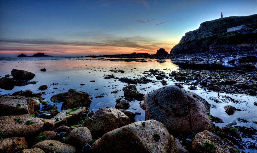
Land’s End
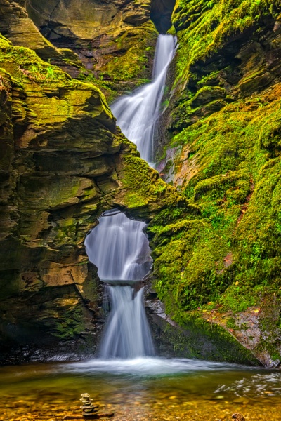
Starting off from a campsite near Land’s End on 1 May 2024, my route will take me on The Tinners Way from Saint Just to Saint Ives and then along the north Cornwall and Devon Coast to Barnstaple following the South West Coastal Path.
Cape Cornwall from Priest’s Cove.
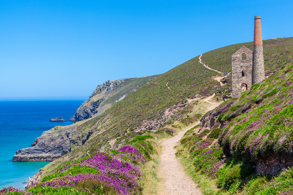
On the Tinners Way I’m hoping to see a Cornish chough (the Penwith peninsula between Land’s End and St Just is one of the few spots in Cornwall where these red billed crows can be found), some of the Bronze Age monuments which dot the landscape including Carn Kenidjack, Chun Quoit, Men an Tol and the Nine Maidens Stone Circle, as well as some of the disused tin mines in the area including Botallack and the wonderfully named Ding Dong Mine.

Chun Quoit
Levant Mine
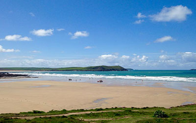
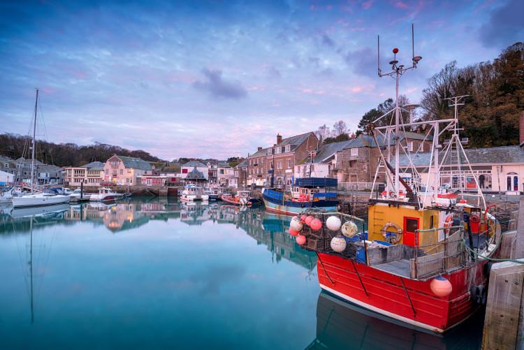
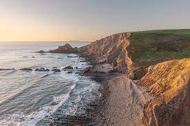
En route to Barnstaple I’m looking forward to visiting Saint Nectan’s Glen near Tintagel, Polzeath Beach (where my father was a home guard during WW2!), Rock (where my father lived for a while in the 1920s) and Clovelly/Hartland Point where I used to go shooting when I lived in Devon. I’m definitely going to be consuming the odd Cornish pasty – my father always claimed that Padstow made the best Cornish pasties in Cornwall!
St Nectan’s Glen
Polzeath Beach
Padstow Harbour
Hartland Point
Section 2: Barnstaple to Chepstow (127 miles)
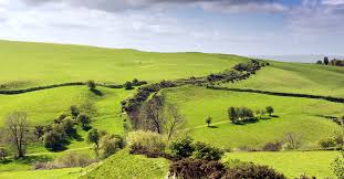
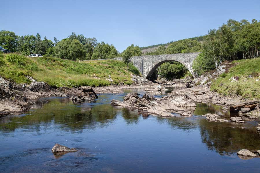
My route leaves the coast at Barnstaple and heads across Exmoor to Simonsbath, where I used to go trout fishing with my father many moons ago. It then crosses the Somerset levels via Cheddar before crossing the Bristol Channel to reach Chepstow, the start of the 186 mile Offa’s Dyke Path.

Simonsbath Valley
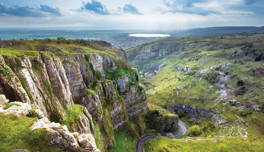
Cheddar Gorge
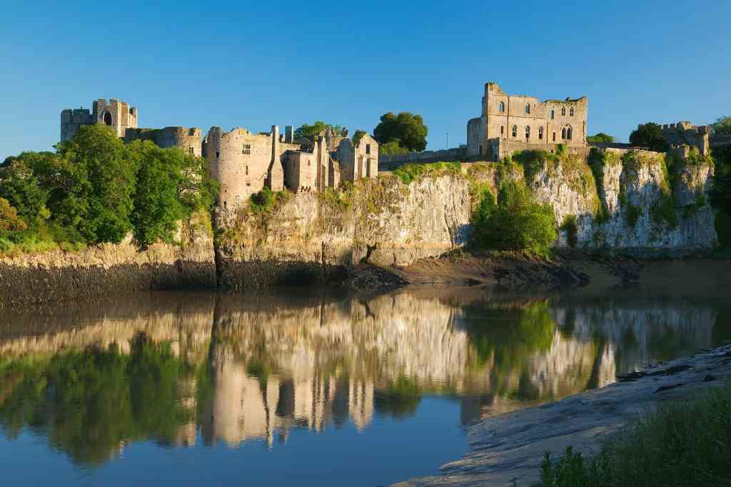
Chepstow Castle
Section 3: Chepstow to Hebden Bridge (258 miles)
Fromm Chepstow to Kington my route follows the Wye Valley and crosses the Black Mountains to Hay-on-Wye on the Offa’s Dyke Path which I first walked when I was 16 in 1980!
I’ve got a rest day planned at Hay-on-Wye where I’m planning to spend a day moseying around the town’s wealth of second hand book shops.It then joins the Staffordshire Way and passes through the Peak District via the Limestone Way and eventually joins the Pennine Way at Hebden Bridge. At school I had a friend whose father used to the Duke of Devonshire’s estate manager at Chatsworth. Although I went to stay with him on several occasions I never got to see round Chatsworth House. Hopefully, if there is time, I’ll be able to remedy that on my LEJOG walk. But there is one thing I’ll have to remember to do before I arrive- have a shower and a shave!
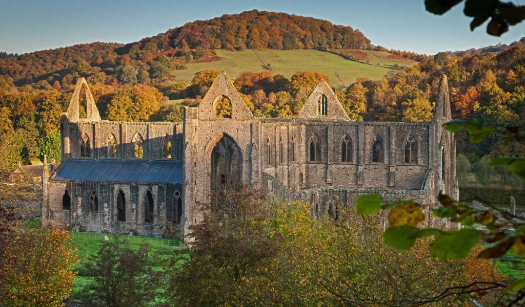
Tintern Abbey
Offa’s Dyke
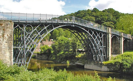
Ironbridge Gorge, Staffordshire

Peak District, Butterly Reservoir
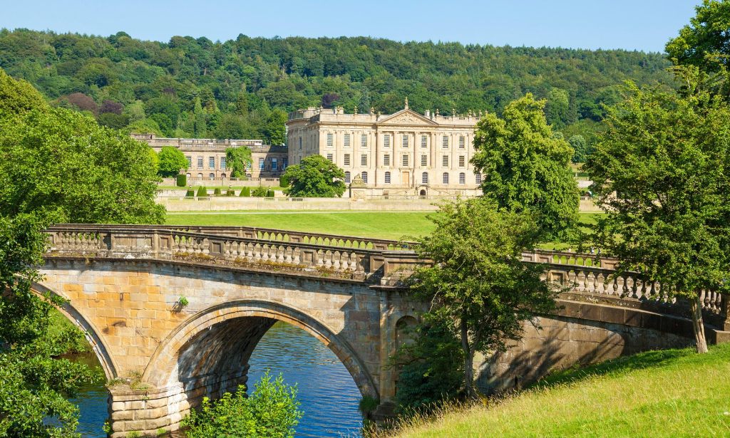
Chatsworth House.
Section 4: Hebden Bridge to Byrness (184 miles)
I’ve walked the Pennine Way several times but I’ve never made it to the end of the Pennine Way at Kirk Yetholm. 268 miles long, its arguably Britain’s premier long distance footpath, boasting England’s highest pub, The Tan Hill Inn. I’ll definitely be dropping in there for a swift pint! It’s tempting to try and fit in a detour to do the iconic 3 Peaks Challenge but that might be pushing my luck a bit too far! I’m looking forward to seeing High Cup Nick – the last time I was there I couldn’t see much beyond the end of my nose and spent a rather hairy afternoon in thick fog trying to navigate my way by compass to my night’s accommodation without falling over the edge of High Cup Nick!
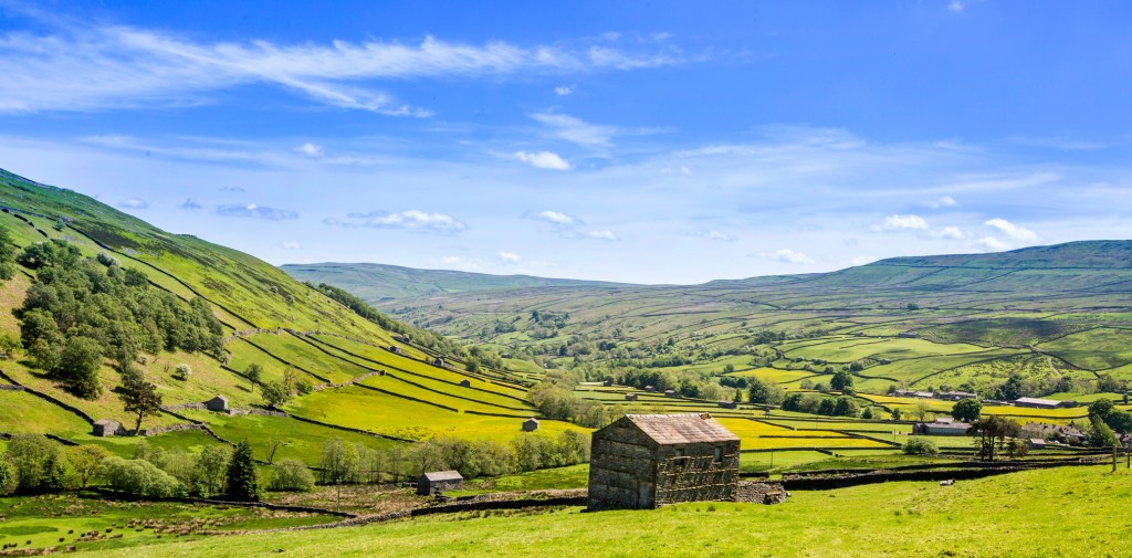
Swaledale
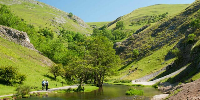
Dovedale
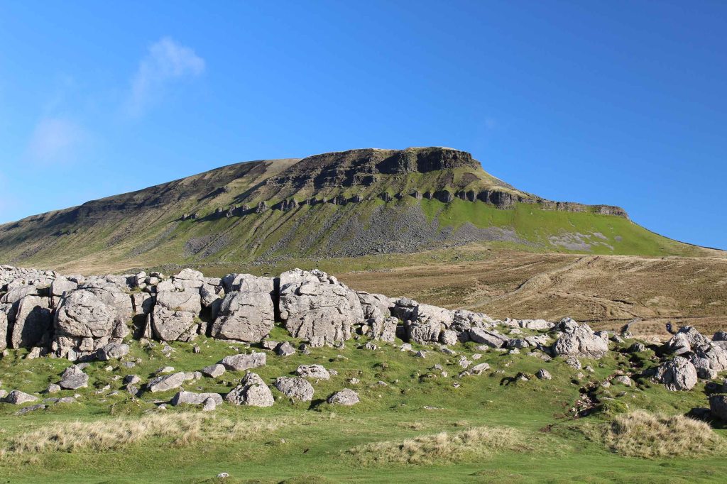
Pen-y-Ghent
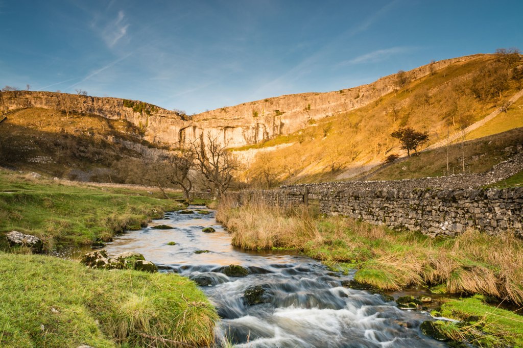
Malham Cove
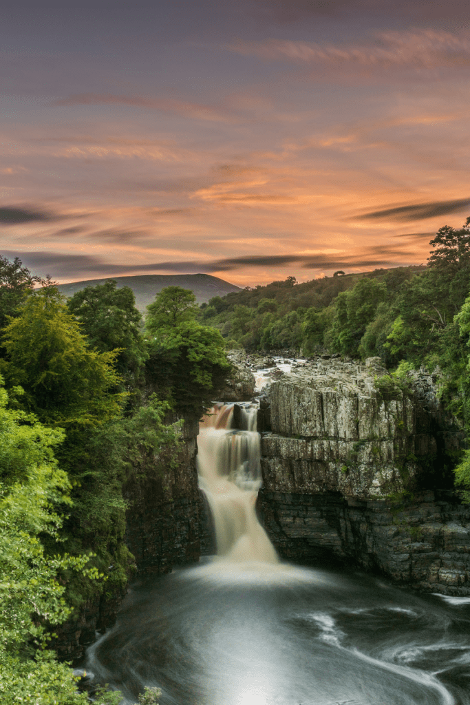
High Force, Middleton in Teesdale
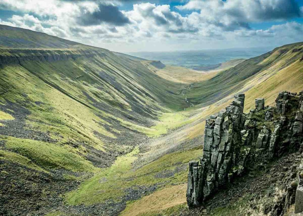
High Cup Nick
Section 5: Byrness to Fort William (228 miles)
I’ve walked the length of Hadrian’s Wall but not crossed it walking from south to north. My schedule will see me reach the iconic gateway to the north in the second week of June. Growing up, Northumberland was a favourite destination for fishing holidays with my father. I’m not quite sure what he would have made of my attempt to walk 1,200 miles from Land’s End to John O’Groats! H would probably have advised me to stick to fishing!
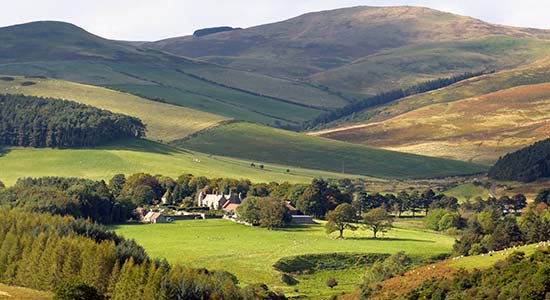
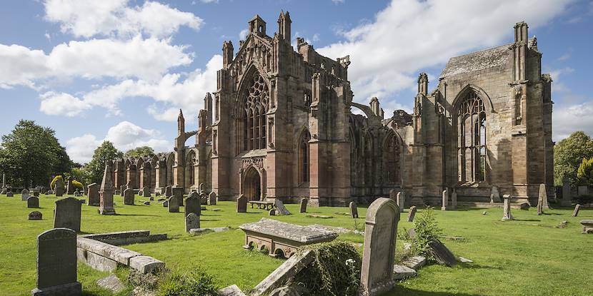
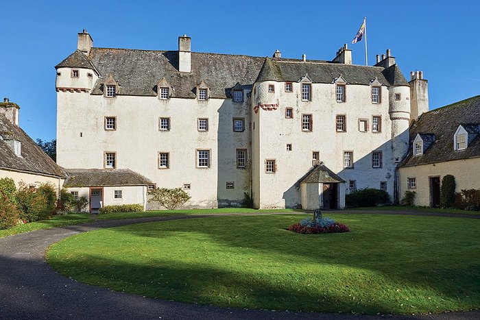
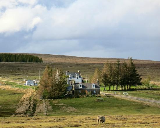
Emerging from the Cheviots, my route leaves the Pennine Way shortly after Byrness and heads for the border towns of Peebles, Melrose and Jedburgh via St Cuthbert’s Way and The Southern Uplands Way. Beyond Traquair, footpaths along the Union and the Forth and Clyde Canal take me to the West Highland Way which stretches from Loch Lomond through Glen Coe before reaching Fort William. I walked the West HIghland Way over 30 years ago and then spent a day looking around Glenfinnan where Bonnie Prince Charlie landed in 1745 as he embarked on his ill fated attempt to invade England and seize the crown. It didn’t end well but my walk, 30 years ago, did. I wandered into the Glenfinnan House Hotel in search of a sandwich for lunch and discovered that the hotel was owned by one of my distant cousins! His daughter now owns the hotel, so I’m planning to drop in once again and catch up with news of the family!
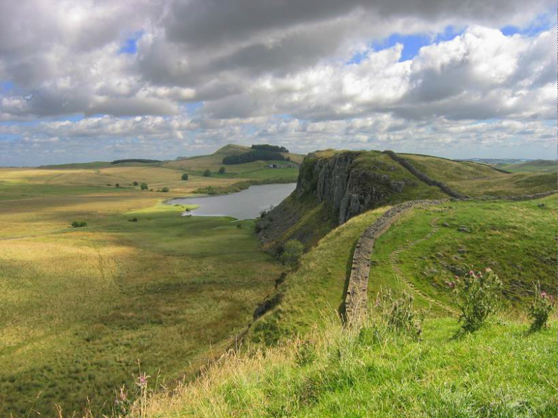
Hadrian’s Wall

Kielder Forest
Southern Uplands Way
Melrose Abbey
Traquair House
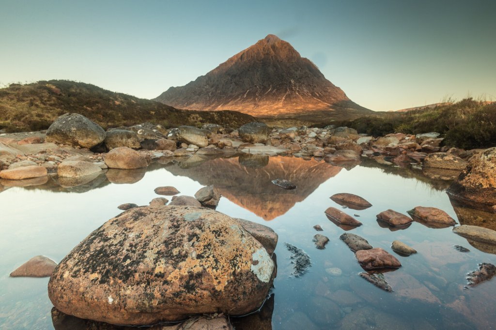
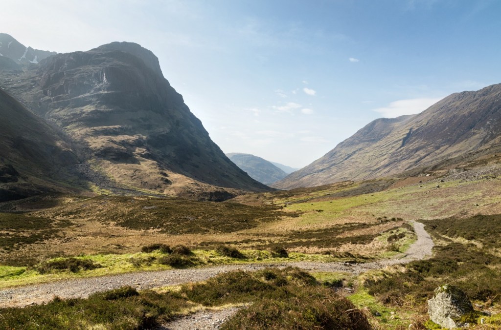
Glen Coe
Section 6: Fort William to John O’Groats (240 miles)
The final 240 mile stretch of the walk from Fort William to John O’Groats could well prove to be the most challenging. After a rest day in Fort William I’m planning to walk it in 11 days and spend most of it wild camping. That means replenishing my supplies in Fort William and carrying several days food with me.
Just beyond Fort Augustus I’m switching to the route outlined by Linda Brackenbury which will take me to Oykel Bridge via a somewhat less challenging route than the one suggested by Andy Robinson. It’s not as scenic as walking via Glen Garry, Glen Affric and Kinlochewe but it does have the advantage of going via villages like Cannich and Contin which have food shops. Taking 11 days food with me and following Andy Robinson’s route could be pushing my luck just a wee bit too far!
I’m planning to spend a night in a bothy on the banks of Loch Choire as well as a night at Forsinard Lodge where I used to go salmon fishing with a great school and university friend in the late 80s and early 1990s. I’ve opted to follow an inland route rather than continuing up the Great Glen Way to Inverness and slogging up the A9 to John O’Groats. I’ll be taking things at a slower pace than the last time I was on the Great Glen Way in 2005 when I biked and walked from Fort William to Inverness in a day to raise money for a cancer charity. This time (midges permitting) it will be purely for pleasure!
With my route finally decided, now all I need to do is shed the excess pounds acquired over Christmas and get down to some serious training! Allez y as they say in this part of France!
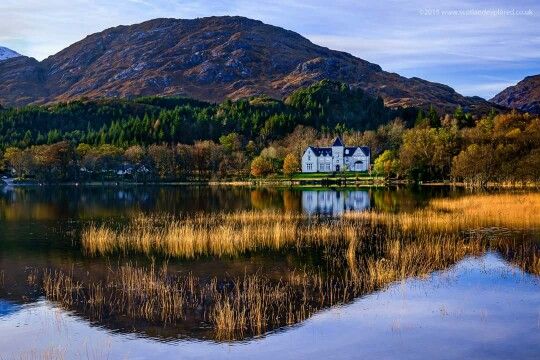
Glenfinnan House Hotel, Loch Shiel
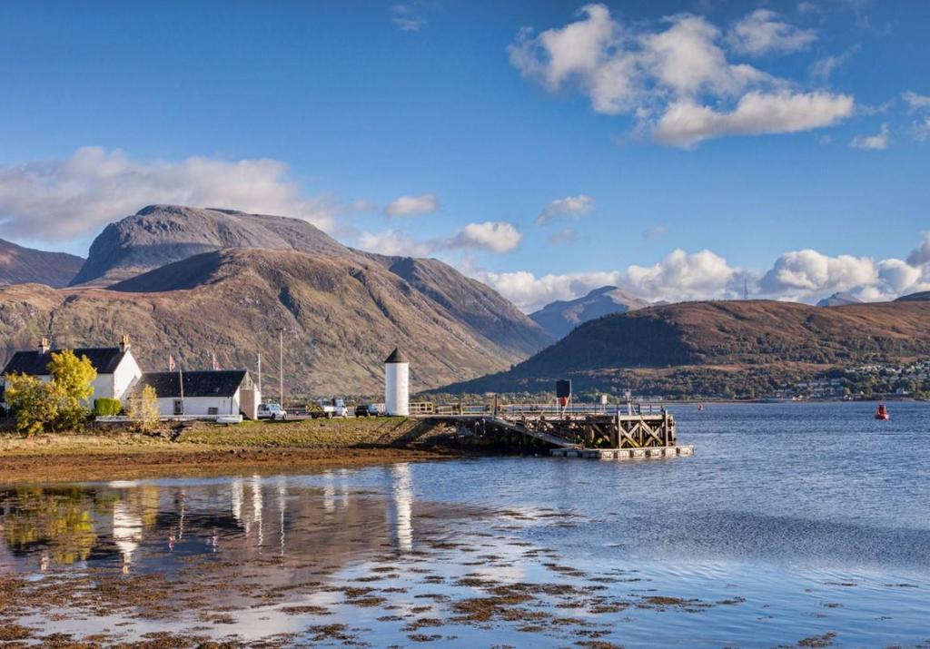
Ben Nevis, Loch Linnhe, Great Glen Way
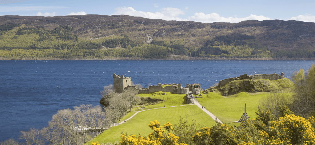
Great Glen Way, Loch Ness
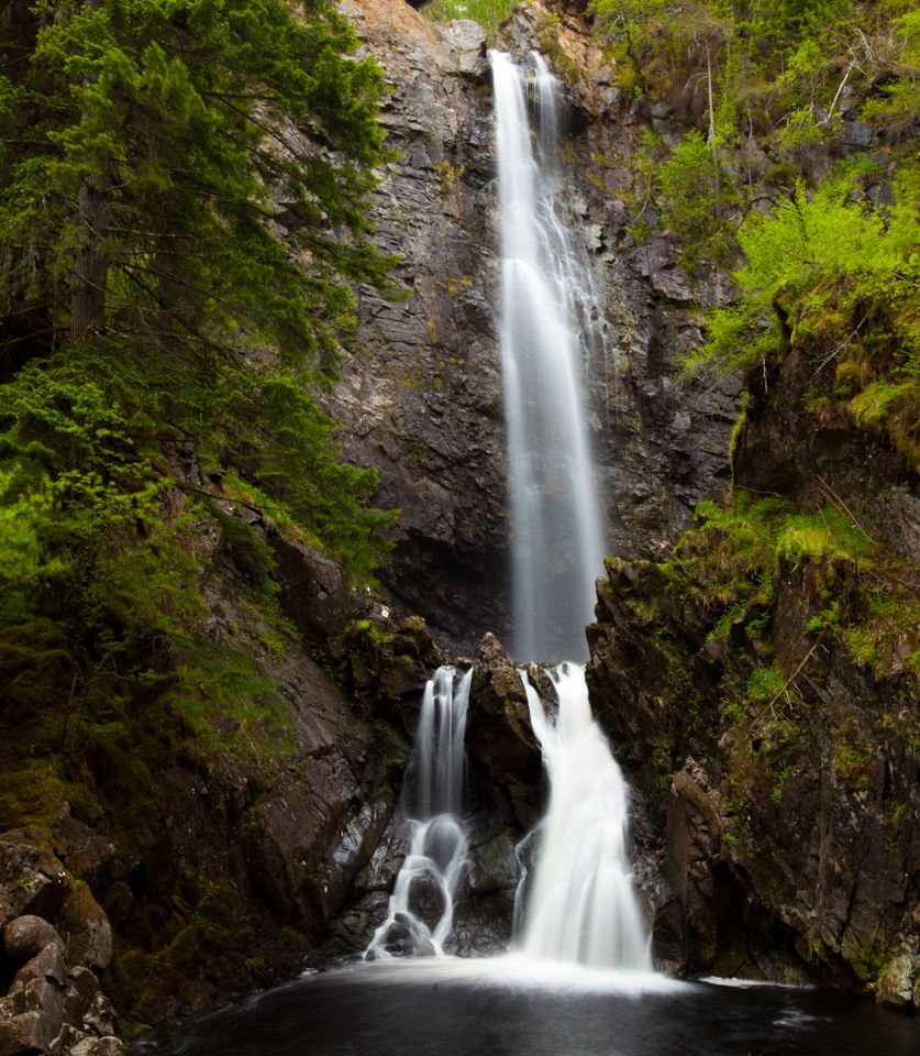
Plodda Falls
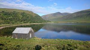
Bothy, Loch Choire
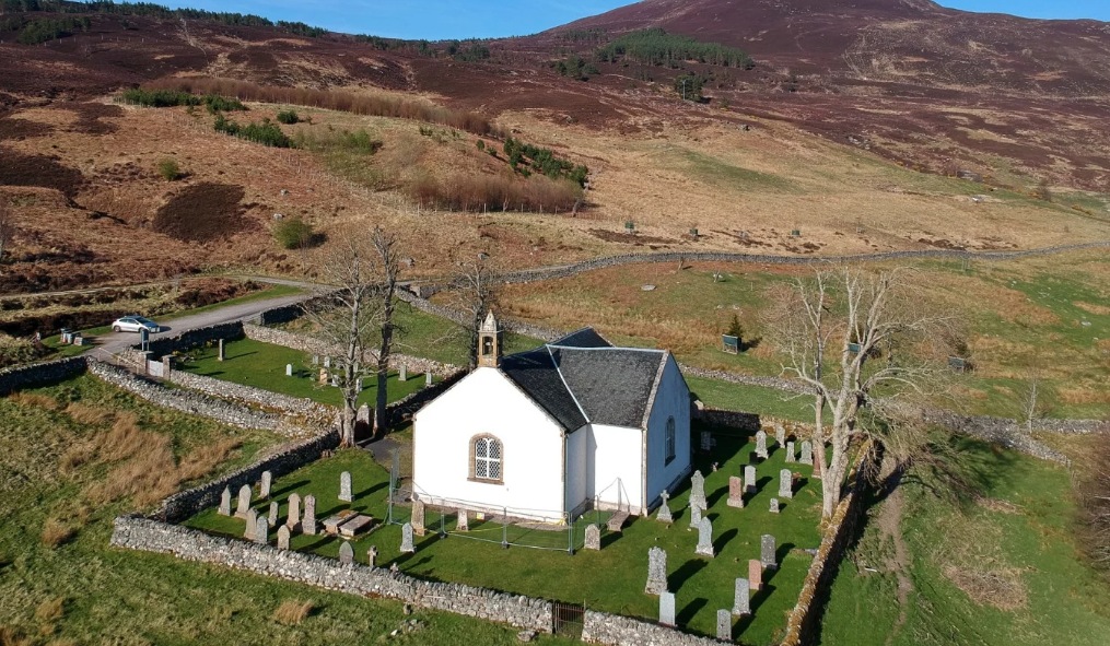
Croick Church
Oykel Bridge
The Crask Inn
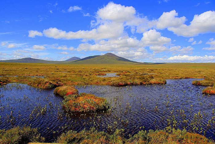
Flow Country, Forsinard
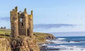
Keiss Castle, John O’Groats Trail
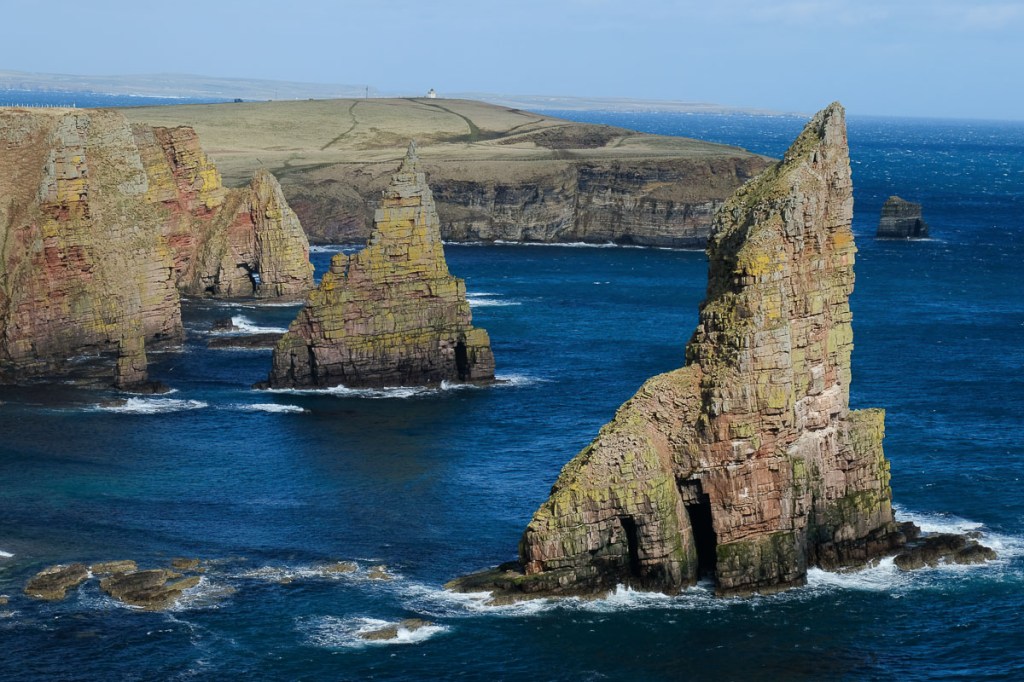
Duncansby Stacks, John O’Groats Trail

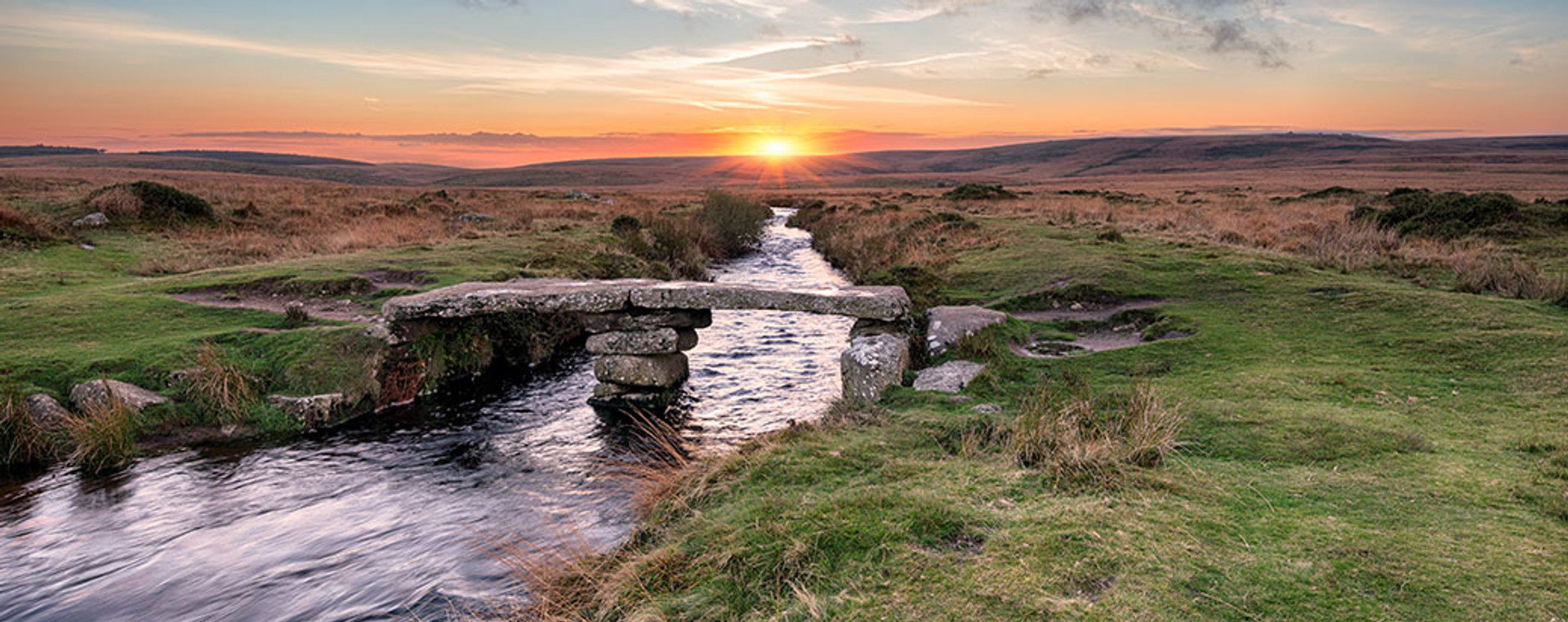
John O’Groats, Journey’s End!

Leave a reply to Life…One Big Adventure Cancel reply